Welcome to RSK Orbital
|
RSK Orbital has over two decades worth of proven international aerial survey and geodata experience. We work for a diverse range of industries across the globe, delivering high-quality imagery, analytics and reporting via state-of-the-art innovative cloud-based software. Our vision is to measure, analyse and publish geographic data to bring the outside world to our customers desktops.
|
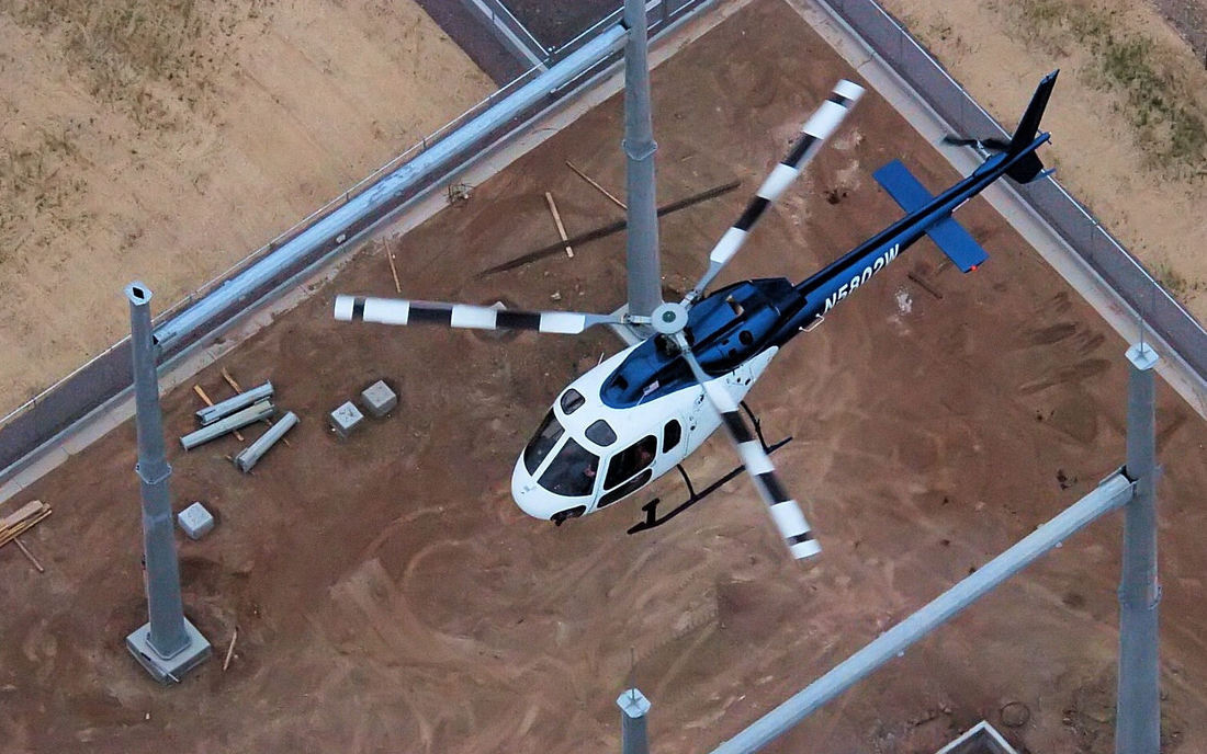
What we doInnovative geomatic solutions of aerial imagery; whether by UAV, helicopter, LiDAR, DTM or fixed wing depending on your requirements
We supply detailed analytics and reporting of your data, delivered using our state of the art, bespoke cloud based asset management tools. |
Who we do it forWe work for a wide and diverse range of companies within the commercial, industrial and infrastructure sectors, including rail, road, power, oil, gas, telecoms and renewable technology organisations.
Some of our biggest clients are National Grid, Network Rail, SGN, Jacobs, Shell, Essar Oil, TOTAL, SNCF and O2. |
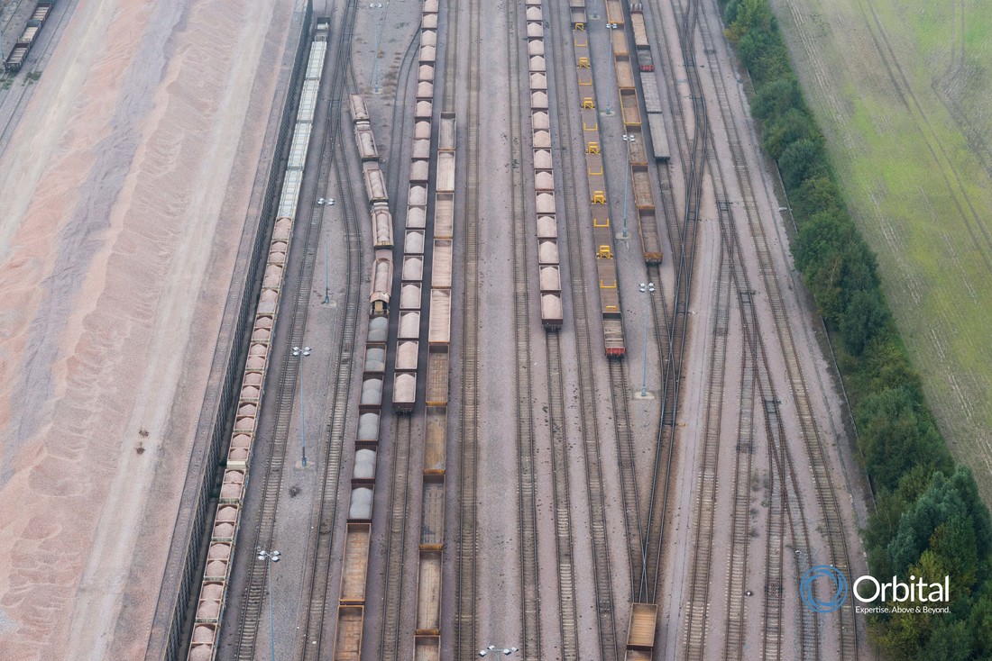
How we do itBy selecting the most appropriate data method, we can collect, collate, customise, analyse and deliver high-resolution imagery in any format required.
This can be a mixture of aerial, 3D and terrestrial data collection, depending entirely on your requirements, delivered in a cost effective solution designed to suit your needs. |


Save time, reduce cost and eliminate risk: Visivi
|
“Perfect Site Assessment Tool”
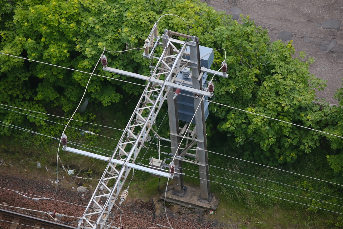
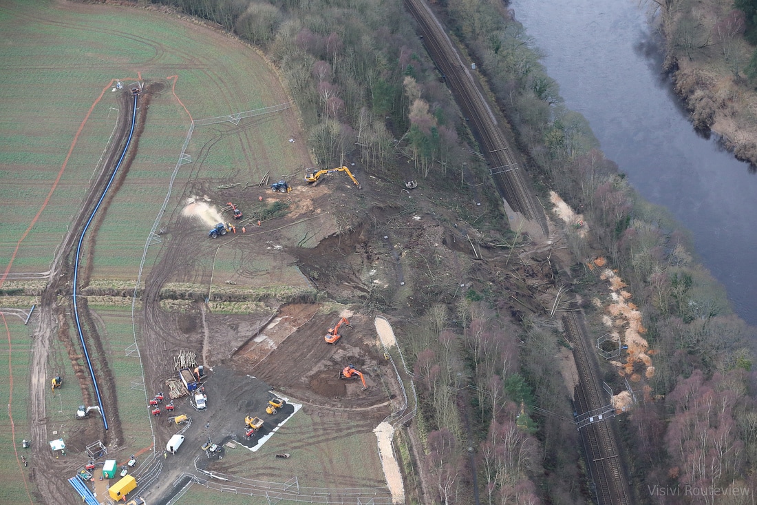
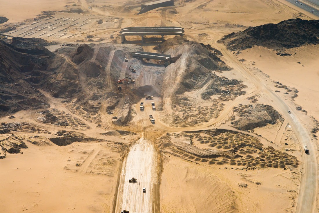
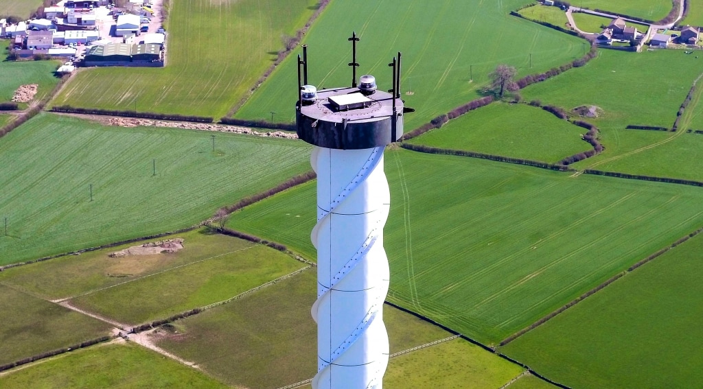
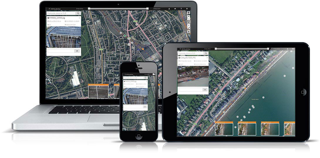
Visivi is an unrivalled collaboration tool for linear asset constructors, regulators and contractors. Simple to use, Visivi is a cloud-based, innovative geomatic solution, which allows our clients to undertake virtual site visits, saving them significant time and money in doing actual site visits. High resolution images help identify assets and issues for projects prior to full surveys being available or needed. With the ability to upload imagery directly from the field, Visivi has become an invaluable data capture tool for many of our major clients, such as Network Rail, National Grid, NIEA, Jacobs, Shell, BP, Scottish Power and many more. Images taken during an aerial survey or inspection done by UAV (drone), helicopter, a fixed wing aircraft or even from the ground can be uploaded instantly, resulting in an online ‘virtual site visit’ which facilitates accurate, fast and collaborative decision making with zero travelling and zero environmental impact. Click here for more information |
|
The safety and efficiency benefits fed back by some of our thousands of users has proven Visivi to be a valuable tool in helping us reduce the safety risks of site visits and lineside access for both employees and contractors as well as helping us to increase efficiency through the easy to access availability of both current & historic asset and lineside condition information at the desktop


What our clients say.....
Wendy Welsh, Network Rail“The safety and efficiency benefits fed back by some of our thousands of users has proven Visivi RouteView to be a valuable tool in helping us reduce the safety risks of site visits and lineside access for both employees and contractors as well as helping us to increase efficiency through the easy to access availability of both current & historic asset and lineside condition information at the desktop”
|
Roger Ellis, ESSAR Oil (UK)"We have been impressed over the last 20 years the way Orbital have developed innovative ideas to provide solutions to a wide range of challenges for Shell and Essar.”
|
Mike Peterson, Willbros“Visivi has allowed the Overland Pass Pipeline Project to save money and time in the design, engineering and permitting stages. The initial investment has had a return of almost 200% while allowing the project to come to the construction phase quicker than previous technologies allowed.”
|