|
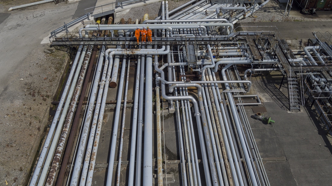
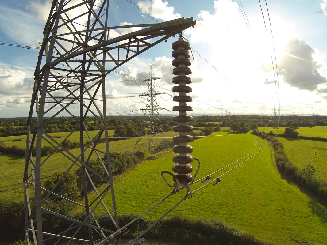
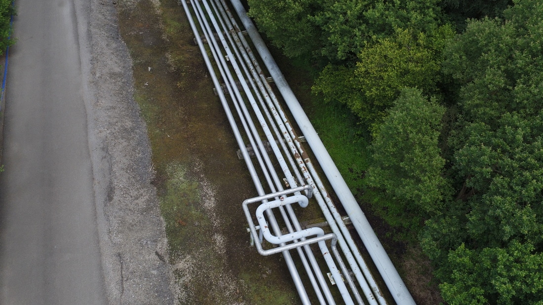
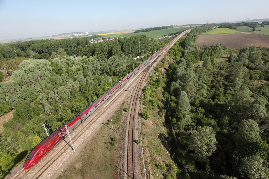
Survey & ImageryOrbital has over twenty years worth of proven international aerial survey experience. Utilising the latest available technology and camera equipment, our aerial photography surveys deliver up-to-date detailed, overlapping oblique or orthorectified imagery of your assets, whether that be road, rail, power transmission, telecoms, waterways or pipeline surveys.
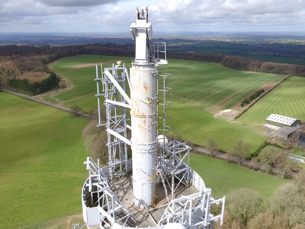
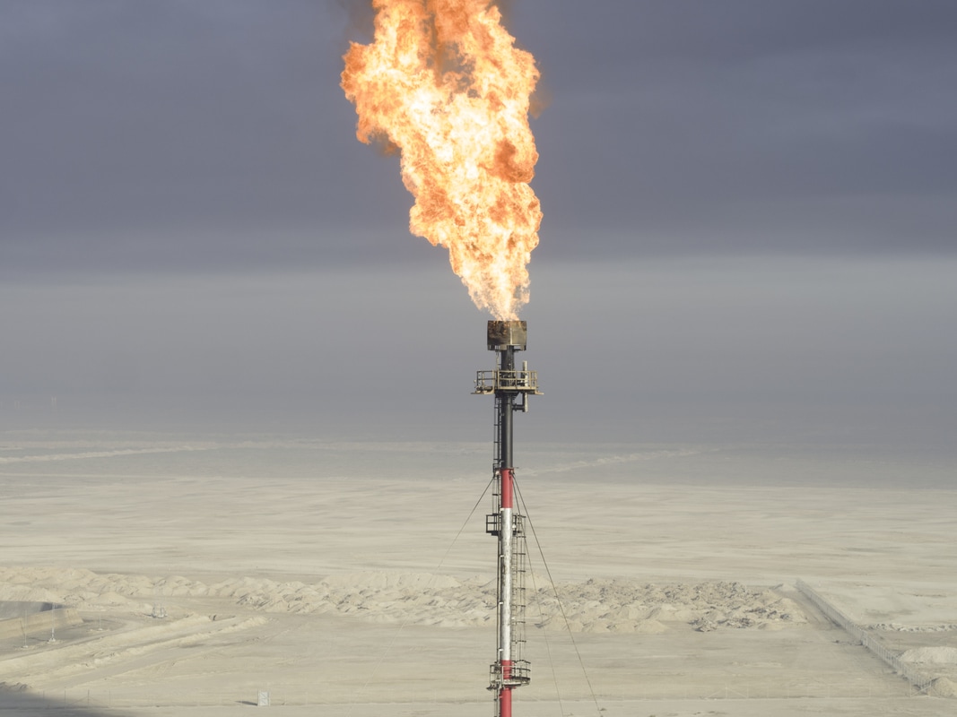
Recently Remotely Piloted Aircraft Systems (RPAS), commonly known as a UAVs have become a cost effective and efficient method of data collection. Flights performed by the UAV are often inspection surveys of telecoms towers, cooling towers, light houses, chimneys and wind turbines and large scale refineries and property and construction projects. |
DeliveryVisivi offers you a 'virtual site visit' from your desktop and is an unrivalled collaboration tool for linear asset constructors, engineers, planners, regulators and contractors.
Simple to use, bespoke and cloud-based, Visivi combines overlapping, oblique, high-resolution (80 megapixel), forward and backward facing aerial photography with online satellite imagery (the detail of which ends as Visivi’s starts) and client specific vector mapping. Photography detail provides precise and accurate visual access for large, disparately located teams: simply, clearly and quickly. An organisation can pool the images taken on smart phones, tablets and cameras into a central online resource; give the photos intelligence through position and comments and the ability for the user to search by a wide variety of applicable parameters, such as date, place name or descriptor, then the photo, taken for a single purpose, may be enjoyed for different reasons by scores of other staff within the company. Without leaving their desk. |
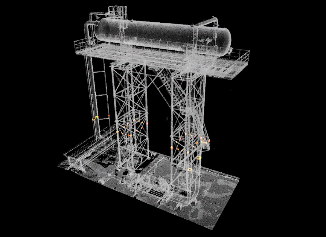
AnalyticsOrbital can provide 3D models derived from orthophotos, oblique photos and/or laser scanned data – LiDAR. The data sets can be utilised as stand-alone online viewers, integrated geo-datasets compatible with our clients own GIS or via our own data management tool, Visivi.
With 3D aerial imagery, we are able to analyse a particular site from many different angles and with the ability to measure volumes and distances, 3D models allow for a more informed decision making when planning future developments. |

Bespoke Solutions with Powerful TechnologyOne of our key business areas is our bespoke cloud system, Visivi, which allows our clients to perform detailed virtual site visits instantly wherever they are in the world. As a result of this technology our clients have increased safety, more efficiently managed their resources and reduced the cost of infrastructure management. With the ability to upload imagery directly from the field, Visivi has become an invaluable data capture tool for many of our major clients, such as Network Rail, SNCF, Severn Trent Water, TOTAL and National Grid.
We Promise You the BestWith an emphasis on high quality data collection, prompt project delivery and excellent 'client specific' after sales services, Orbital has developed a reputation for being a friendly and efficient team dedicated to the quality, health and safety principles outlined by IS09001:2015 and the information security requirements of ISO27001. We have achieved both certifications over recent years.
|
Vertical Divider
|
Our Customers Come FirstThrough our core markets, we have formed some fascinating relationships with clients who have involved us in many varied projects, which occasionally only touch on geomatics or aerial surveys. Our aim is to provide innovative solutions to challenges and issues within each industry by working closely with the industry leaders.
By treating each challenge as a fresh opportunity to develop new and exciting software, we ensure that our solutions are unique to each client’s requirements. We have grown as a business by focusing on client needs, resulting in the continual development of services utilising the latest and most applicable technologies. |
Find out more about our wide range of services
|
|
| ||||||||||||||||||